Assessment of a Community-led Bathymetric Method
In a recent study, the accuracy of a harbor chart for Ashdod Port was evaluated using data collected by two service vessels over a two-month period. The chart, produced by innovation company DockTech, was compared to a professional hydrographic survey.
The study found that while DockTech's technology improves port operations by routinely collecting soundings from service vessels, it falls short of the required horizontal accuracy for the entire surveyed area. The Special Order requires a horizontal accuracy of 2m, but the DockTech map exceeds this by almost 28cm at -16m depth.
Moreover, the study revealed that full coverage in the entire port area wouldn't be achieved, and gaps in the data are interpolated to provide a continuous depiction of the bathymetry. This is a significant challenge, as bathymetric Coverage requires 100% coverage.
The study also found that the median error would be greater than 6m, with outliers of above 20m. However, tremendous improvements were attained with enriching the data.
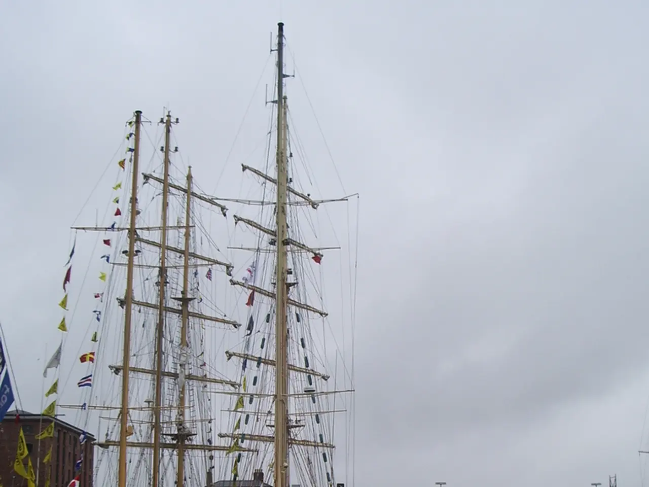
Service vessels such as tugs and pilot boats use GNSS navigation and Single Beam Echo Sounders during their deployment, but they usually do not take into account hydrographic variables such as sound speed, dynamic draft, and heave. To improve the horizontal accuracy of the soundings, RTK or at least DGNSS navigation should be used, and static offset measurements between the GNSS antenna and the transducer should be taken with geodetic equipment when the vessel is out of the water for maintenance.
The major contributor to sounding error is the variation in sound speed relative to that applied in the echo sounder. Port Authorities or the National Hydrographic Office could take SVP measurements in the port on a regular basis to adjust the soundings accordingly in the data processing stage.
When comparing the entire overlapping area inside the port, the average depth difference between the SB (service boat) and MB (hydrographic survey) grids was 18cm with a standard deviation of 14cm. This difference was considerably smaller in the shallow basin compared to the deep basin and the slope area, which could be due to sound speed differences or the number of observations in each geohash.
Multi-Beam Echosounders (MBES) have become the standard for seafloor mapping since the early 1990's. They provide more detailed and accurate data compared to Single Beam Echo Sounders, making them essential for professional hydrographic surveys that adhere to IHO S-44 standards. These surveys use calibrated instruments operated by trained personnel following strict protocols, resulting in consistent, high-accuracy bathymetry data suitable for safe navigation.
In contrast, crowd-sourced bathymetry data is collected by diverse users with varying equipment quality, expertise, and data collection methods. As a result, accuracy is often variable and may not meet the required positional and depth precision needed for official charts. Quality control is more challenging because of heterogeneous sources and lack of standardized procedures. The data often cannot fulfill IHO S-44 accuracy classifications, making it unsuitable by itself for formal chart production intended for navigational safety. Temporal consistency and spatial coverage are less reliable, and the data may not represent current seabed conditions, which can change rapidly in harbor environments.
However, crowd-sourced data can still provide valuable supplemental real-world insights and help update charts between professional surveys, especially once curated, validated, and incorporated carefully into charting platforms with official data to enhance detail and community knowledge. For example, Furuno's TZ MAPS platform integrates crowd-sourced bathymetry with official hydrographic data, satellite imagery, and high-resolution surveys but still relies on professional data standards for primary accuracy.
In summary, while crowd-sourced bathymetry can be a useful tool for enhancing chart detail and updating, it cannot replace professional hydrographic surveys for harbor chart production that must comply with IHO S-44 requirements designed to ensure maritime safety.
- The study revealed that while DockTech's technology collects data for maritime operations, it doesn't meet the required horizontal accuracy for safety of navigation in the entire port area.
- The median error in the soundings was found to be greater than 6m, highlighting the need for technology advancements in data-and-cloud-computing to improve accuracy.
- The study suggested that to achieve better horizontal accuracy of soundings, technology such as RTK or DGNSS navigation should be used, along with geodetic equipment for static offset measurements.
- Crowd-sourced bathymetry data, while valuable for real-world insights, often fails to meet the IHO S-44 accuracy classifications and is unsuitable for formal chart production intended for navigational safety, emphasizing the importance of professional hydrographic surveys.

